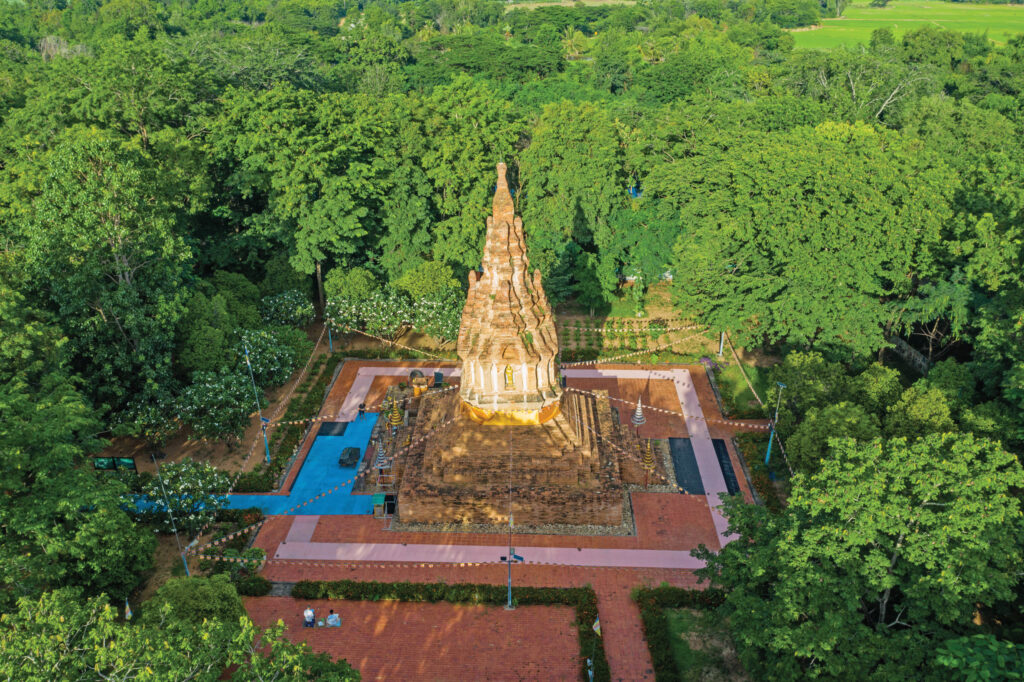
Pha Sut Phaendin
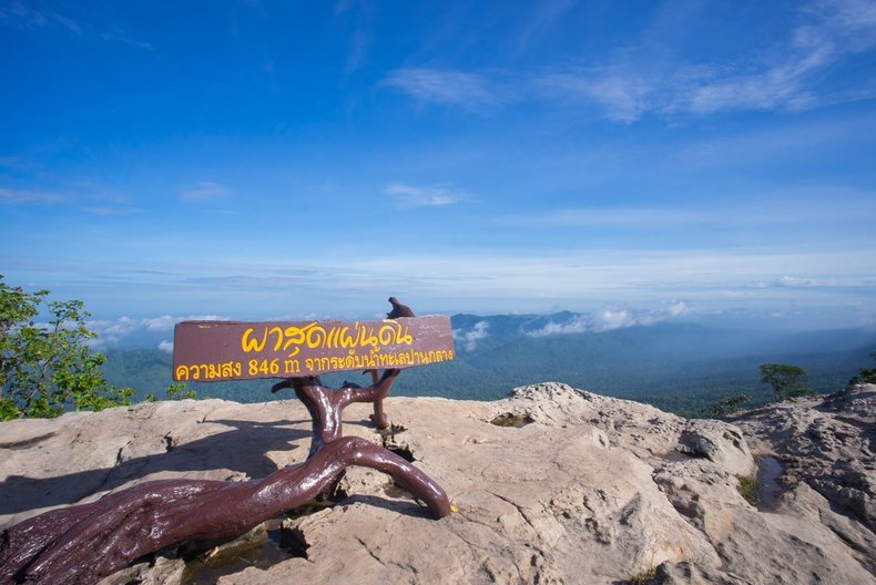
Pa Hin Ngam National Park It is located on the Phanghei mountain range. The terrain is hilly and complex. The altitude is about 300-846 meters above sea level. It is covered with deciduous dipterocarp forests, dry evergreen forests and mixed deciduous forests. There are a variety of ecosystems and there are flowers such as Dusita Enah and Orchid depend a lot And there are many wildlife species, with more than 56 species of birds, 21 species of mammals, and 10 species of reptiles. Tourist spots in the park include Lan Hin Ngam. It is an area with strange big rocks scattered over an area of more than 10 rai caused by erosion of soil and rocks in different shapes. Able to imagine various images such as nails, radars, mother hens, etc. or Thung Bua Sawan Krachia is a herbaceous plant such as ginger and galangal. Found scattered everywhere from Lan Hin Ngam to the viewpoint at the end of the land. Suitable for visiting during the rainy season around June-August. of every year at the end of the land It is a steep cliff and is the highest point of the Phang Hoi Mountain Range. Approximately 2 kilometers from the park office, with a height of 846 meters above sea level, is a cliff line, which is the boundary between the central and northeastern regions. At the viewpoint at the end of the land, you can see the complex ridge scenery. And there is a cool breeze blowing all day long at Thep Phana Waterfall On the east side of the park office A distance of about 7 kilometers is a medium-sized waterfall. caused by the leaping creek that flows from the mountain range divided into three tiers The top floor is about 2-3 meters high, the second floor is …